Disaster response and humanitarian tech
There's a long tradition of volunteer technologists rallying to aid communities in the aftermath of a disaster or humanitarian crisis. Many of the problems and solutions, such as managing skilled volunteers remotely, apply to other domains in the Civic Tech Field Guide. See also: Participatory Aid.

PetaBencana.id
PetaBencana.id provides residents, government agencies, and first responders with a real-time disaster information sharing system at an unprecedented scale. It is the first platform of its kind to har...

Urban Ocean Lab
Urban Ocean Lab cultivates rigorous, creative, equitable, and practical climate and ocean policy for the future of coastal cities.

American Red Cross Emergency app
A native app that allows you to monitor more than 35 different severe weather and emergency alerts in your town, and other cities that matter to you, such as hurricanes, earthquakes and tornados.

IFRC's Digital Transformation Playground
Welcome Humanitarian Data & Digital Enthusiasts! Here You Can Find All Things Related To Data & Digital.

HOT's Approach to OSM Data Validation for Earthquake Response Mapping
We have a four step validation process to ensure that the data created for emergencies like the current Turkey and Syria earthquake response is fit for use.

Humanitarian Innovation Fund
Aim: to improve outcomes for people affected by humanitarian crises by identifying, nurturing and sharing more effective and scalable solutions.

Beyond Borders: Satellite Applications for Humanitarian Emergencies
A report by the UK Humanitarian Innovation Hub
UK Humanitarian Innovation Hub (UKHIH)
The UK Humanitarian Innovation Hub (UKHIH) will promote and support strategic and focused collaborations across government, science, private and humanitarian actors to drive urgently needed innovation...

UN Mappers
UN Mappers is a community of mapping enthusiasts collaborating to collect, validate and disseminate geospatial open data in areas where the United Nations carries out field operations with the goal of...

Response Innovation Lab Uganda
The Uganda Response Innovation Lab (Uganda RIL) was founded in 2018 by Save the Children Uganda. The main objective of the lab is to support the humanitarian response to 1.4 million refugees from eigh...
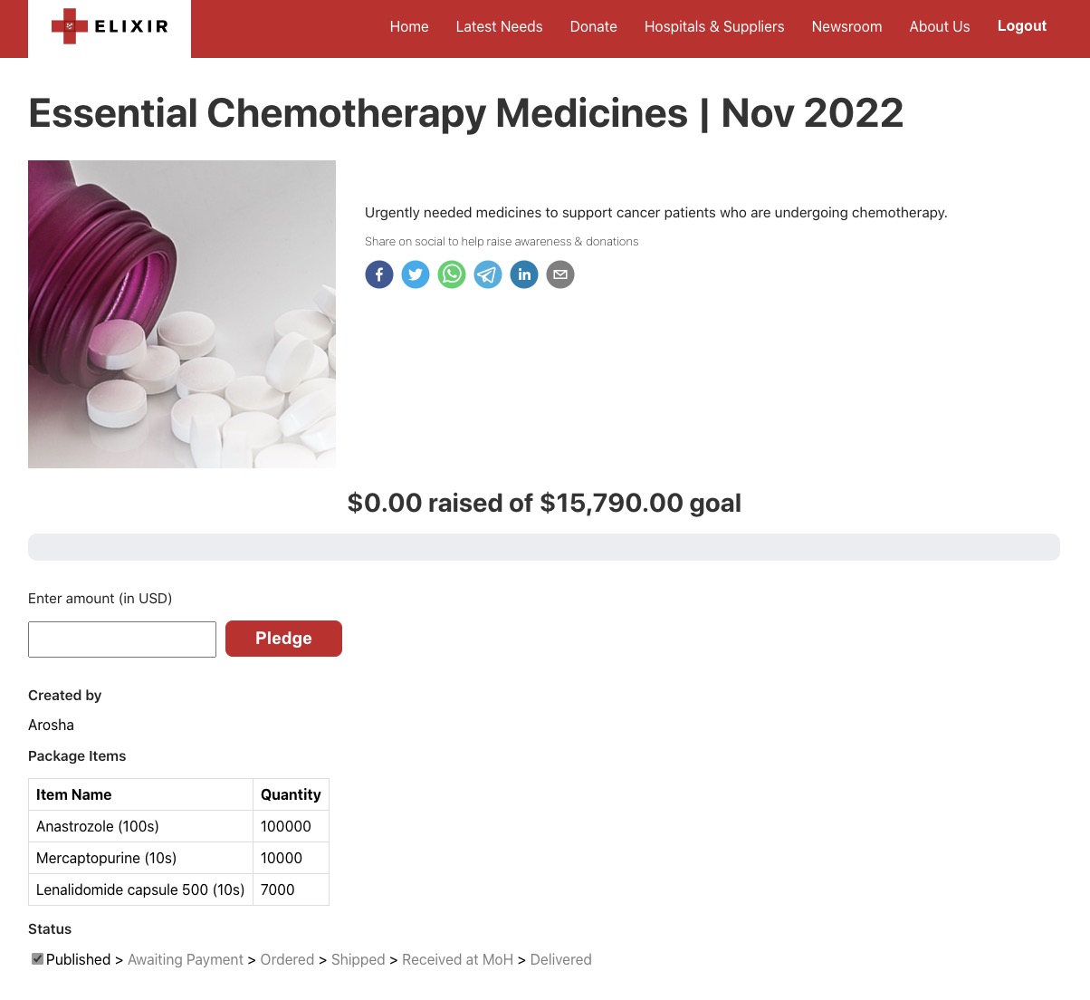
Elixir
A platform to consolidate emergency medical needs across a country, create aid packages of medicines and supplies, centralize supplier quotations, select most cost-effective supplier, and match donors...

Humanitarian OpenStreetMap activation Turkey earthquake
With this mapathon, the UN Mappers community wants to join the efforts of the NGO Yer Çizenler and the OpenStreetMap community to map buildings and roads in the area.

Forerunner
The Floodplain Management Platform for Resilient Communities

SmartResponse
Informed Giving = More Effective Relief

Needslist
NeedsList matches community needs with offers of support, making humanitarian assistance and disaster response cheaper, faster, and more targeted.

RapidDeploy
Realtime data. Unified Public Safety workflow. Reduced emergency response times.

Talk to Loop
Loop’s feedback platform is revolutionising accountability in humanitarian aid and development by providing a space for accessible feedback, reliable complaints mechanisms and safe reporting of Sexual...

Beirut Urban Observatory
The Beirut Urban Observatory is a platform of geolocalized urban data informing ongoing post-blast recovery efforts.

Mapping NGOs Repairs
Between March and September 2021, BUL researchers identified around 80 NGOs that participated in shelter repair within the neighborhoods severely affected by the August 2020 port blast. The data and f...

Internet Activism
A 501(c)(3) non-profit creating modern digital solutions for real-world, physical problems.

Open Source Social Protection Platform (OpenSPP)
OpenSPP is a scalable, integrated and digital social protection information system.

IASC Operational Guidance on Data Responsibility in Humanitarian Action
While each organization is responsible for its own data, humanitarians under the Inter-Agency Standing Committee (IASC) – which brings together United Nations (UN) entities, Non-Governmental Organizat...

Data Responsibility Working Group (DRWG)
The Data Responsibility Working Group (DRWG) is a global coordination body working to advance data responsibility across the humanitarian system.

Where Technology Meets Ethics: The Humanitarian Principles and Their Problematic Relationship to Technology
The time for theorizing is coming to an end. The need for action has arrived.

Digital Humanitarian Network
Outfit that organized digital volunteer deployments around humanitarian crises. No longer active in this regard, but still publishing reports.

Western Fire Chiefs Association Fire Map
Tracking Current Wildfires in the US

International Aid Transparency Initiative
International Aid Transparency Initiative IATI is a global initiative to improve the transparency of development and humanitarian resources and their results to address poverty and crises.

Cascadia 9 Game
In Cascadia 9.0, you play as several different characters to learn how to survive and thrive in this earth-shaking catastrophe!

Tarjimly
A non-profit that seeks to eliminate humanitarian language barriers to improve the lives of refugees and immigrants. This service is built for people on the move and non-profit organisations.

Response Innovation Lab
Designed to open humanitarian response to startups, social entrepreneurs, researchers, and other non-traditional actors capable of contributing solutions to the resopnse

Response Innovation Lab Iraq
The Iraq Response Innovation Lab (IRIL) convenes actors around humanitarian problems faced locally through analysis and promotion of innovations and innovators.

GiveDirectly Hurricane Relief
In partnership with Google and Propel, GiveDirectly is automating cash aid to Propel users living in areas deemed damaged by satellite imagery

FloodLight
Ushahidi instance crowdsourcing the flood-related data from the 2022 Floods in Pakistan.

Data Playbook V1
Improve your team's data knowledge and skills

Flexport.org
Flexport.org uses logistics as a positive force for social and environmental impact - enabling organizations to deliver global aid and meet their sustainability goals with greater ease and lower costs...

Cine ce face (Who does what)
”Cine ce face” is an information project through which citizens can get a clear and accurate picture of the roles of various institutional actors in case of an emergency.

Airbnb.org
Airbnb encourages hosts to donate their shelter in times of need, and is now spinning the program out as a formal non-profit.

adiuto.org
European matchmaking site for mutual aid donations of all kinds

Public for Ukraine
Information sheets for people fleeing Ukraine, in English and Ukranian
Ways to help Ukraine
A compendium of ways to help, in English, Ukrainian, Polish, and Russian language

Russia-Ukraine Monitor Map
In January 2022, CIR launched the Eyes on Russia project to collect and verify videos, photos, satellite imagery, or other media related to Russia's invasion of Ukraine. The goal of the project is si...

Допомога (Dopomoha)
Code for Romania's information portal for people fleeing war in Ukraine

Awana Digital
Solidarity with frontline communities using tech to defend environmental & human rights. Co-building mapping & monitoring tools. Challenging tech colonialism.

AirGrade
We improve the effectiveness of international development efforts by understanding and encouraging what works using rigorous, actionable and engaging evidence.

Centre for Humanitarian Data
Connecting people and data to improve lives

Technosylva
A suite of tools for wildfire response and planning

Health Sites
Building an open data commons of health facility data with OpenStreetMap

Humanitarian OpenStreetMap Team (HOT) (HOTOSM)
HOT is an international team dedicated to humanitarian action and community development through open mapping.

Humanity Road
Humanity Road is a disaster response 501c3 charity specializing in sourcing critical information and resources when disaster strikes.

Google Person Finder
Google Person Finder helps people reconnect with friends and loved ones in the aftermath of natural and humanitarian disasters.