Satellites
Satellites can be used for a range of public good tech solutions, from providing imagery to humanitarian responses to monitoring environmental degradation.
Suggested reading:
Global energy sector methane emissions estimated by using facility-level satellite observations
Global energy sector methane emissions estimated by using facility-level satellite observations
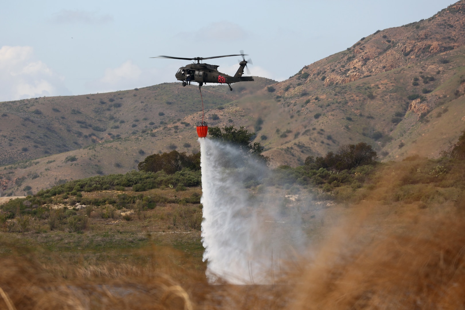
FireGuard Program
FireGuard uses military satellites with the National Interagency Fire Center, U.S. Forest Service and the National Geospatial-Intelligence Agency’s Firefly capability to detect wildfires, notify autho...
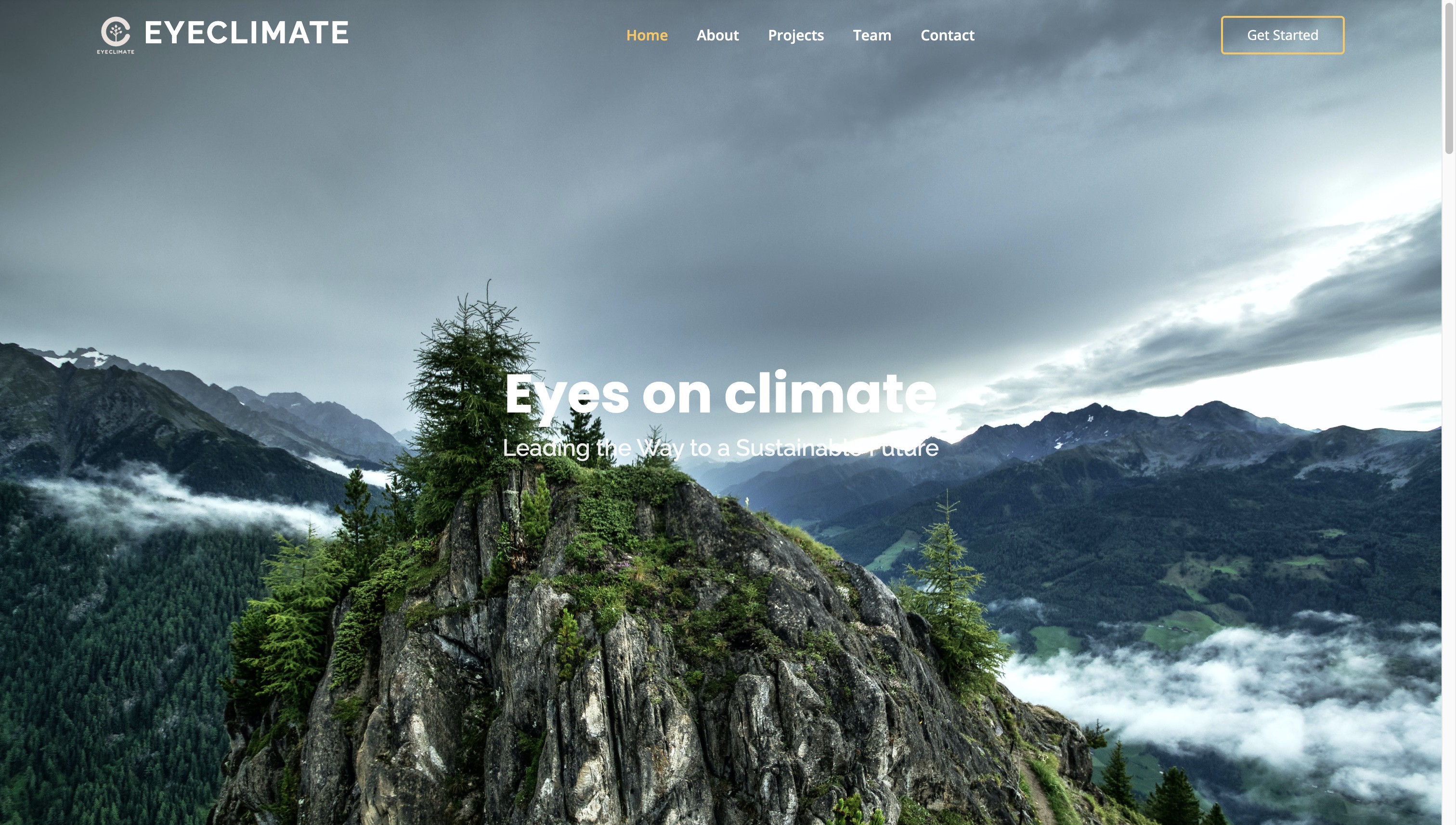
EyeClimate
MethaneMapper is an open-source, AI-powered hyperspectral imaging tool to detect methane emissions and trace them to their sources.

Amazon Mining Watch
Amazon Mining Watch uses machine learning to map the scars of gold mining activities in the Amazonian countries.

UP42
UP42 transforms how organizations order, access, and analyze Earth observation data.

Using publicly available satellite imagery and deep learning to understand economic well-being in Africa
Article in Nature by Christopher Yeh, Anthony Perez, Anne Driscoll, George Azzari, Zhongyi Tang, David Lobell, Stefano Ermon & Marshall Burke

Climate TRACE
We use satellites, other remote sensing techniques, and artificial intelligence to deliver a detailed look at global emissions that gets even better over time.
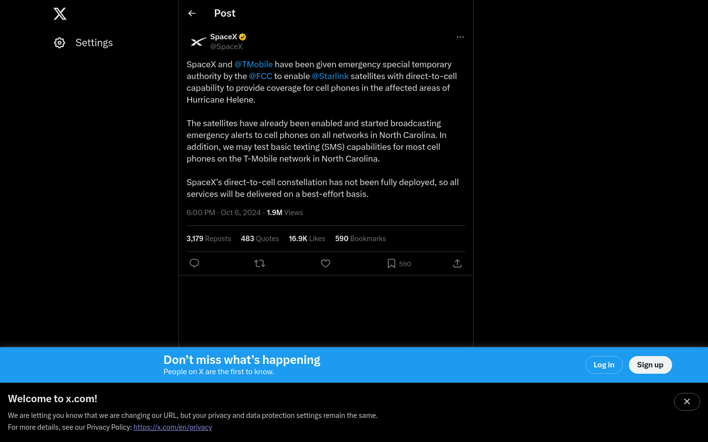
Starlink cellular connectivity in disasters
Space X's Starlink unit was granted permission by the US FCC to activate a satellite connectivity option for Americans in hurricane zones

Earth Fire Alliance
Earth Fire Alliance is a global, community-led, non-profit coalition aligned to deliver transformative real-time data from all fires on Earth.

FireSat
A new global satellite constellation designed specifically to detect and track wildfires the size of a classroom within 20 minutes.

Google Heat Resilience Tool
Google Research is applying AI to satellite and aerial imagery to build a Heat Resilience tool, helping cities understand how to reduce surface temperatures through planting trees or using highly-refl...
Rapid
Rapid integrates advanced mapping tools, authoritative geospatial open data, and cutting-edge technology to empower OpenStreetMap mappers at all levels to get started quickly, making accurate and fres...

Radiant Earth
Increasing shared understanding of our world through community-led initiatives that make data easier to access and use.
Clay
Clay is a nonprofit team on a mission to make Earth observation as useful and ubiquitous as a Google search. We believe in using open, responsible AI to make Earth observation a force for positive cha...

Carbon Mapper
We leverage remote sensing technology to detect, pinpoint, and quantify methane and carbon dioxide (CO2) emissions at the scale of individual facilities.

Google MethaneSAT partnership
Just like how we use AI to detect sidewalks, street signs and road names in satellite imagery to display helpful information in Google Maps, we’ll also use AI to identify oil and gas infrastructure, l...

Predicting Well Groundwater Quality Using Cloud-Based Machine Learning: DataKind San Francisco Partners with Aquaya and DataKind
A writeup of the partnership

OpenAerialMap
OpenAerialMap is an open service to provide access to a commons of openly licensed imagery and map layer services. Download or contribute imagery to the growing commons of openly licensed imagery. St...

Tile2Net
"an end-to-end open-source framework for creating georeferenced pedestrian networks from aerial imagery"

Beyond Borders: Satellite Applications for Humanitarian Emergencies
A report by the UK Humanitarian Innovation Hub

MethaneSAT
A better and faster way to track methane

SpaceX Starshield
Starshield leverages SpaceX's Starlink technology and launch capability to support national security efforts. While Starlink is designed for consumer and commercial use, Starshield is designed for gov...

GiveDirectly Hurricane Relief
In partnership with Google and Propel, GiveDirectly is automating cash aid to Propel users living in areas deemed damaged by satellite imagery

Mapping Makoko
A combined tech and journalistic effort to map the Makoko informal settlement

The State of Satellites
This is an exploratory overview of current and upcoming sources of data, processing pipelines, and data products. It is aimed at helping non-experts explore and harness the unfolding revolution of Ear...

Copernicus
The European Union Earth Observation Programme

Facebook AI mapping for humanitarian aid and development
Building on our previous publication of similar high-resolution population maps for 22 countries, we're now releasing new maps of the majority of the African continent, and the project will eventually...