Environmental data
Open environmental data that's leveraged in a civic context, such as the Maai Makwa project developing civic literacy in Kenyan communities on water quality and conservation.

Mapistry
Created for businesses with air and water permits who want one software for inspections, emissions calculations, and reporting - that operations actually uses.
Global energy sector methane emissions estimated by using facility-level satellite observations
Global energy sector methane emissions estimated by using facility-level satellite observations
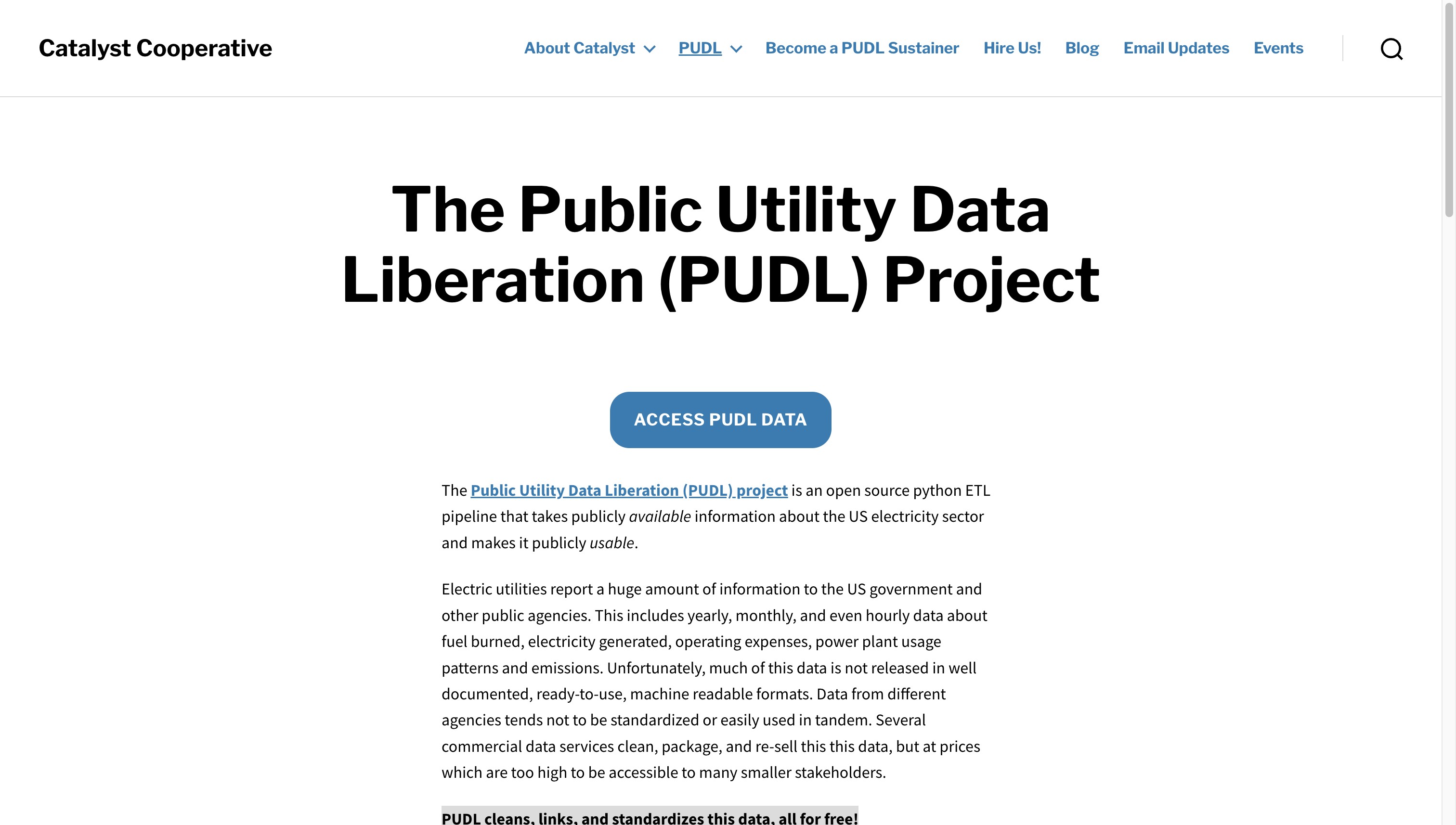
The Public Utility Data Liberation (PUDL) Project - Catalyst Cooperative
The Public Utility Data Liberation (PUDL) project is an open source python ETL pipeline that takes publicly available information about the US electricity sector and makes it publicly usable.
EyeClimate
MethaneMapper is an open-source, AI-powered hyperspectral imaging tool to detect methane emissions and trace them to their sources.
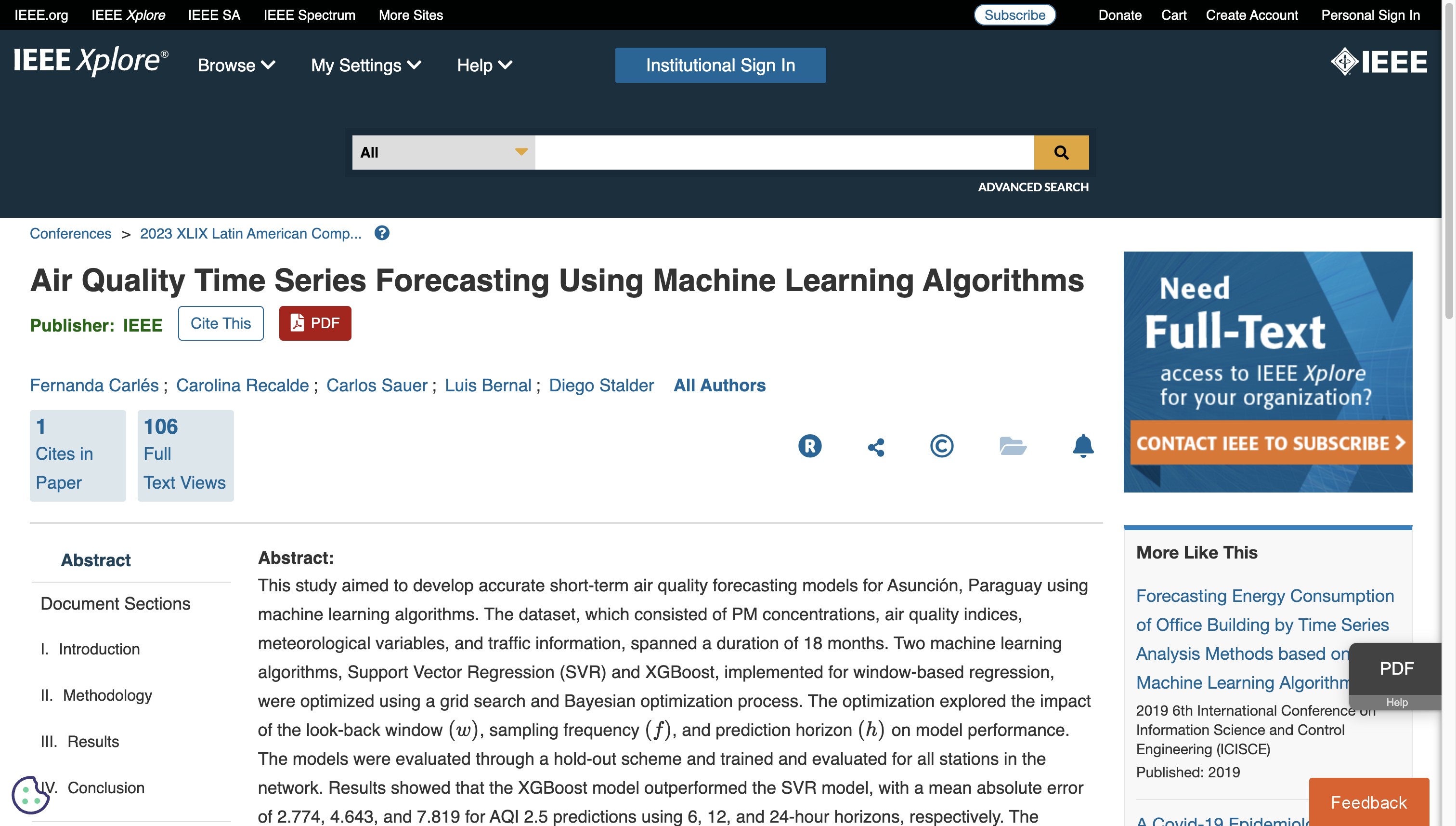
Air Quality Time Series Forecasting Using Machine Learning Algorithms
This study aimed to develop accurate short-term air quality forecasting models for Asunción, Paraguay using machine learning algorithms.

Amazon Mining Watch
Amazon Mining Watch uses machine learning to map the scars of gold mining activities in the Amazonian countries.
Mapa Polskich Drzew
The "Map of Polish Trees" is a nationwide, social project aimed at creating an inventory of trees growing across Poland.
Under the Surface - The hidden crisis in Europe's groundwater
The Under the Surface project, coordinated by Arena for Journalism in Europe and initiated by Datadista, delved into official data from European countries to reveal, for the first time, the extent of...

UP42
UP42 transforms how organizations order, access, and analyze Earth observation data.
New Air Quality Stats Dispel Earlier Forecasts for Congestion Pricing Pollution
Air quality has improved or remained steady across the five boroughs since congestion pricing launched in January, according to a new batch of data released by the city Department of Health — another...
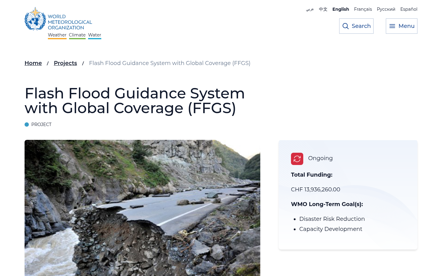
Flash Flood Guidance System with Global Coverage (FFGS)
To address the issues associated with flash floods, especially the lack of capacity to develop effective flash flood warnings, the Flash Flood Guidance System (FFGS) was designed and developed for int...
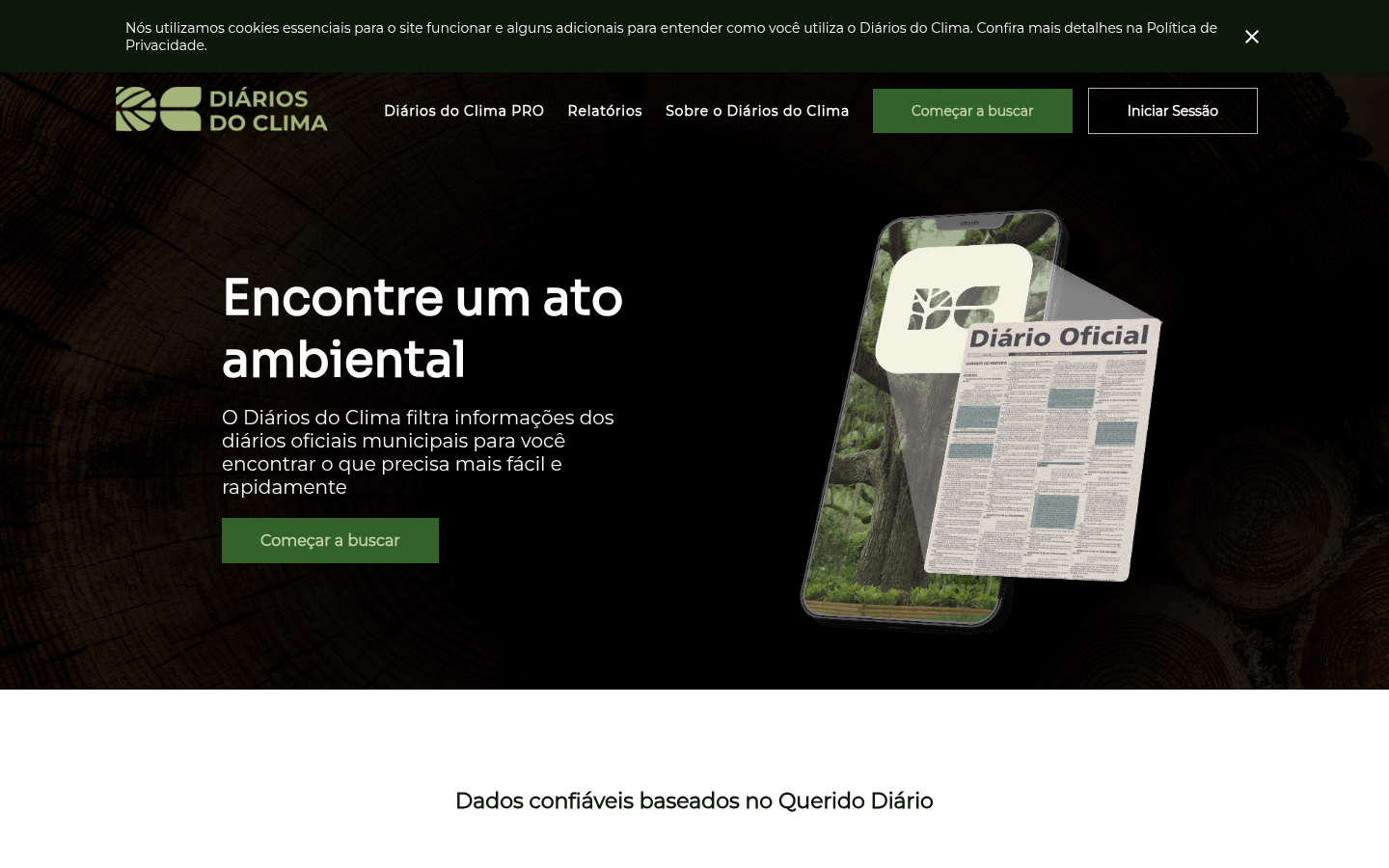
Diários do Clima
O Diários do Clima filtra informações dos diários oficiais municipais para você encontrar o que precisa mais fácil e rapidamente
Disfactory
Crowdsourced reporting on Illegal Factories on Farmland in Taiwan

Deep Submergence Dive location dataset from Bell et al. Sci Advances: How Little We've Seen: A Visual Coverage Estimate of the Deep Seafloor
The largest dataset of deep seafloor imagery ever assembled, showing "we have visually observed less than 0.001%"

Lukim Gather
How do we ensure that community data from Papua New Guinea’s protected areas is reported and heard?

Data Friendly Space (DFS)
We envision a future where technology and data power positive social change

SAGA Smart Machinaka Project
The SAGA Smart Machinaka Project is a demonstration project that aims to improve the convenience of the city center of Saga City through the use of technologies such as AI and IoT, and to create a cit...

Smart Buildings TensorFlow Dataset
A powerful tool designed to train reinforcement learning agents to optimize energy consumption and minimize carbon emissions in buildings.

Weave
Get energy data with a few lines of code

Google Smart Buildings Control
A comprehensive collection of six years of telemetry data from three Google buildings, providing real-world insights for developing and validating optimal control solutions.

Air Quality Stripes
Data visualization plots showing the changing trends in outdoor concentrations of particulate matter (PM2.5) air pollution from 1850 to 2021 in cities around the world

FireBench
FireBench is the largest high-fidelity wildfire simulation dataset, enabling the generation of ensembles of fire evolution scenarios and combining observational environmental data with high-fidelity s...

Data Zetu
This project is using geospatial technology to solve the climate mobility data gap and inform required food security and planning interventions.

Radiant Earth
Increasing shared understanding of our world through community-led initiatives that make data easier to access and use.
Clay
Clay is a nonprofit team on a mission to make Earth observation as useful and ubiquitous as a Google search. We believe in using open, responsible AI to make Earth observation a force for positive cha...

Land & Carbon Lab
Land & Carbon Lab partners with leading scientists and technologists to harness the power of artificial intelligence and geospatial monitoring to build cutting edge, open access monitoring systems for...

Tech for Forests
In the period between the beginning of 2021 and the middle of 2022, we investigated open-source digital infrastructures used by communities that are under the constant threat of violation of civil and...

Open Environmental Data Project (OEDP)
Building spaces to grow the global conversation on environmental data access and use

Google MethaneSAT partnership
Just like how we use AI to detect sidewalks, street signs and road names in satellite imagery to display helpful information in Google Maps, we’ll also use AI to identify oil and gas infrastructure, l...

OpenLitterMap
Help us create the world's most advanced open database on litter, brands & plastic pollution.

FathomNet
FathomNet is an open-source image database for understanding our ocean and its inhabitants

Africa Data Hub Climate Observer
The Africa Data Hub Climate Observer is designed to help journalists and academics reporting and researching climate change in Africa.

Maai Makwa (My Water)
Deploying Open Data to Enable Kenyan Households & Communities Conserve Fresh Water Resources, including civic literacy campaigns and IoT monitoring of water supply and quality

Ocean Artificial Intelligence
Consolidation of underwater video data will catalyze a new era of discovery.

Microsoft AI for Earth
Supporting sustainability decision-making with the power of the cloud